


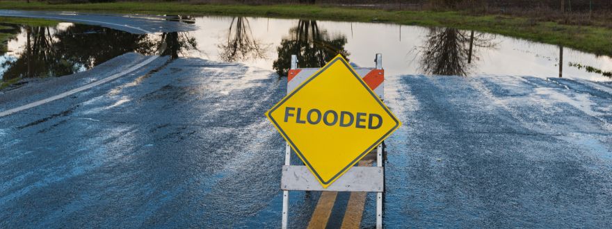
If you own property near the Russian River, Mark West Creek, or anywhere in the Laguna de Santa Rosa watershed, there's a decent chance your flood risk status changed recently, whether or not anyone told you directly.
In early 2025, Sonoma County supervisors accepted new FEMA flood risk maps for the Russian River watershed, the first update in 30 years. The maps didn't shrink the flood zones, they expanded them, reaching well beyond the immediate riverbanks and into neighborhoods that residents assumed were safely outside flood territory.
One story from the county hearings sums up how this caught folks off guard. A longtime homeowner in the Laguna de Santa Rosa watershed, three decades into ownership, found out his property had been reclassified into a flood zone. Not from FEMA, not from the county, but from his mortgage lender, giving him 30 days to secure flood insurance before they force-placed a policy on his behalf! Wild, huh?
Why a remap?
The old maps were three decades out of date, built on hydrology and modeling that predates most of the climate data we rely on today. The new versions pull in updated waterway information, land use changes, and better elevation data, which is part of why the footprint grew rather than shrank.
For property owners, a shift into the Floodway (F1) or Floodplain (F2) zoning is hugely impactful. It can restrict new construction, limit remodels and additions, and, as that Laguna de Santa Rosa homeowner learned, trigger a hard insurance requirement from your lender with a tight deadline attached.
Why this matters going into winter
This remap is landing right as forecasters are watching one of the strongest El Niño events on record build through the winter. NOAA's Climate Prediction Center now puts El Niño's odds of persisting through early spring 2027 at 97 percent, and has raised the probability of a historically strong event to 75 percent for the October through December window, which would exceed every El Niño on record since 1950.
For California, a strong El Niño typically means an active subtropical jet stream funneling atmospheric rivers straight at the coast. Meteorologists are already flagging the Bay Area for a meaningfully wetter winter than usual, with the odds of above-normal precipitation climbing sharply in just the past couple of months of forecast updates.
None of that guarantees a flood, but it's exactly the kind of setup, saturated ground, back-to-back storm systems, swollen creeks, that has triggered Sonoma County's flood emergencies in the past. The county's own hazard planning documents note that flooding is the most frequent natural hazard here, responsible for more property loss than any other, with nine separate emergency activations tied to flooding since 1995.
How to check your address
If you suspect your home is outside a mapped flood zone, remember that a flood policy isn't just for people inside the lines. A large share of NFIP claims come from properties outside high-risk zones. Given what forecasters are watching build over the Pacific this winter, this is not the year to assume "not in a flood zone" means "not at risk." We recommend checking your address regardless of your current assumptions.
Two free tools cover this:
- FEMA's Flood Map Service Center (msc.fema.gov): Enter your address, and it pulls up the current effective flood map for your property, including the zone designation and panel number. You can also download the actual map page if you want it for your records.
- Permit Sonoma's ActiveMap viewer (permitsonoma.org, under Planning Initiatives section): The Flood Hazard & Zoning Update Map shows the county's local flood zone layers, including the F1 Floodway and F2 Floodplain combining districts, layered onto a parcel map so you can see exactly how the zoning applies to your property.
It's worth checking both! FEMA's map determines whether a lender requires flood insurance. The county's F1/F2 zoning is what determines whether the designation affects what you can build or remodel.
Have questions about how the updated flood maps affect your coverage? Contact us at info@barberinsurance.com or 707-526-7900.